Trail Creek Water Monitoring Photos
Download: rossland-flow-monitoring-upper-trail-creek.jpg
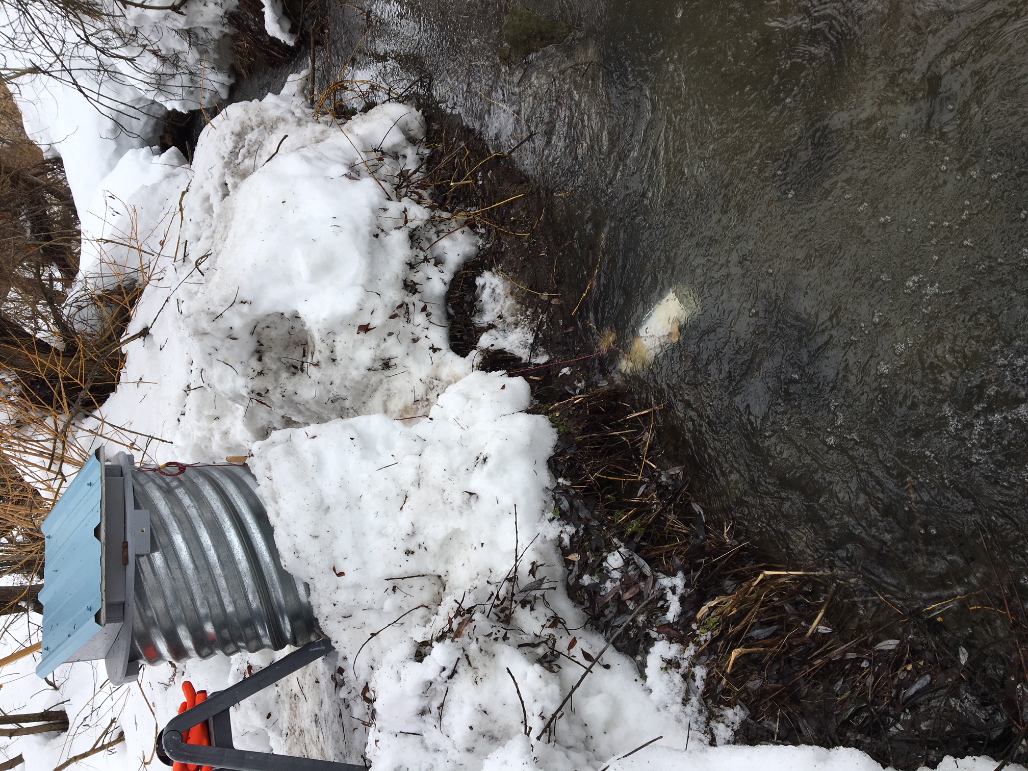
This is a photo of the monitoring site on upper Trail Creek
Resource metadata
| Field | Value |
| Data last updated | March 19, 2021 |
| Metadata last updated | March 19, 2021 |
| Created | March 19, 2021 |
| Format | JPEG |
| License | CC-BY-NC-SA-4.0 |
| Data collection info | Onset Pressure Transducers-water level sensors U20L were installed in Jan 2018 to automatically record barometric pressure, water pressure and temperature every 6 hr (four measurements daily). Hinterland Surveying calibrated the staff gauge elevation where 1.000 m on staff gauge corresponded to 962.947m absolute elevation. |
| Data processing | Normalized barometric pressure is collected at the station, and converted to water level using Onset's computer software. Raw data is available for additional review upon request. This includes transduced pressure, barometric pressure and temperature. |
| Data type | lab |
| Datastore active | False |
| Datastore contains all records of source file | False |
| Has views | True |
| Hash | ccec7080941a3b9e7dde8b8833326f45 |
| Id | 9f5ad874-fd52-40a0-90b0-83bd5f65cbaa |
| Load status | Invalid header row: |
| Mimetype | image/jpeg |
| Package id | 463fcf93-0770-4288-bbc3-2ceefbc9f3fa |
| Position | 0 |
| Resource citation | Rossland Streamkeepers (2021). Trail Creek Water Monitoring Photos. Columbia Basin Water Hub. (Resource). Rossland. (DOI) |
| Resource data disclaimer | No warranty or guarantee exists that the information is accurate, complete, current, or suitable for any purpose. The individual user must confirm the accuracy of the data and whether it will be appropriate for their purpose. |
| Resource location | Upper Trail Creek |
| Size | 1.4 MiB |
| State | active |
| Url type | upload |
| Waterhub certified | Certified |
| Waterhub grade | Technical Research Grade |
| Citation (Required) | Rossland Streamkeepers (2021). Trail Creek Water Monitoring Photos. Columbia Basin Water Hub. (Resource). Rossland. (DOI) |
| Resource Location | Upper Trail Creek |
| Data Collection Information | Onset Pressure Transducers-water level sensors U20L were installed in Jan 2018 to automatically record barometric pressure, water pressure and temperature every 6 hr (four measurements daily). Hinterland Surveying calibrated the staff gauge elevation where 1.000 m on staff gauge corresponded to 962.947m absolute elevation. |
| Data Processing | Normalized barometric pressure is collected at the station, and converted to water level using Onset's computer software. Raw data is available for additional review upon request. This includes transduced pressure, barometric pressure and temperature. |
| Data Disclaimer | No warranty or guarantee exists that the information is accurate, complete, current, or suitable for any purpose. The individual user must confirm the accuracy of the data and whether it will be appropriate for their purpose. |
| Water Hub Data Grade | Technical Research Grade |
| Date of Most Recent Water Hub QA/QC | |
| Data type | Laboratory Results |
Site
No data available
Parameter
No data available